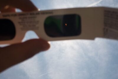
Eclipse glasses for the partial solar eclipse
Latest news 5 minute read
Read articleOur most recent astronomical articles...
Latest news 5 minute read
Read article
Latest news 10 minute read
Read article
Latest news 5 minute read
Read article
Latest news 4 minute read
Read article
Latest news 4 minute read
Read article
Latest news 5 minute read
Read article