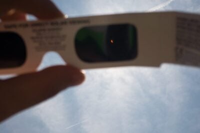
Eclipse glasses for the partial solar eclipse
Latest news 5 minute read
Read articleThe map shows light pollution levels near Nantgwyllt Church, as indicated by the latest data from the Visible Infrared Imaging Radiometer Suite (VIIRS) instrument aboard the NASA/NOAA satellite.
Our most recent astronomical articles...
Latest news 5 minute read
Read article
Latest news 10 minute read
Read article
Latest news 5 minute read
Read article
Latest news 4 minute read
Read article
Latest news 4 minute read
Read article
Latest news 5 minute read
Read article