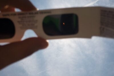
Eclipse glasses for the partial solar eclipse
Latest news 5 minute read
Read articleThe map shows light pollution levels near High Legh Community Observatory, as indicated by the latest data from the Visible Infrared Imaging Radiometer Suite (VIIRS) instrument aboard the NASA/NOAA satellite.
Our most recent astronomical articles...
Latest news 5 minute read
Read article
Latest news 10 minute read
Read article
Latest news 5 minute read
Read article
Latest news 4 minute read
Read article
Latest news 4 minute read
Read article
Latest news 5 minute read
Read article